Jacksonville Dock Builder designs, builds and repairs docks, boat lifts, floating platforms and waterfront decks throughout Duval County — on the St. Johns River main stem, along the Intracoastal Waterway and up the tidal creeks that feed both.
St. Johns River (main stem) · Intracoastal Waterway · Julington and Durbin Creeks · Ortega and Cedar Rivers · Trout River and Arlington River · Pottsburg Creek
No two shorelines in Northeast Florida behave the same way. These are the conditions we design around here.
St. Johns River (main stem)
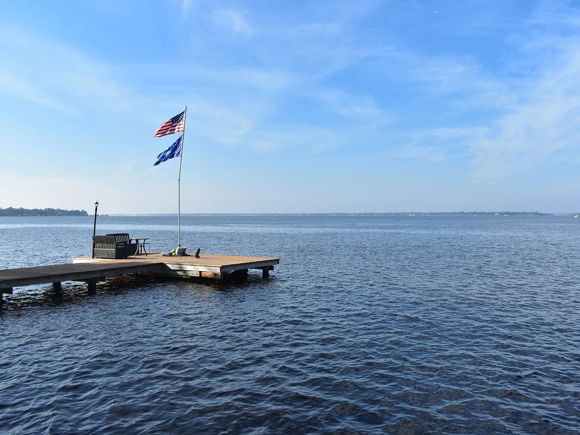
Tidal all the way through the city and well upstream of it. Salinity shifts with the season and with how much rain the upper basin has had, which affects both marine borer activity and how aggressively hardware corrodes. Depth off the bank varies enormously between the deep channel reaches near downtown and the wide shallow flats further south.
Intracoastal Waterway
Running north–south behind the beaches, with constant commercial and recreational traffic. Wake is a design load here, not an afterthought — terminal platforms, lift placement and fender detailing all need to account for it.
Julington and Durbin Creeks
Mandarin and Durbin-area creeks with soft bottoms, substantial tidal swing and shallow water at low tide. Reaching workable depth frequently means a long walkway, and floating sections are popular for small craft.
Ortega and Cedar Rivers
Protected water with established waterfront neighbourhoods and plenty of older structures now reaching the end of their service life. Replacement and piling work is common here.
Trout River and Arlington River
North and east-side tidal tributaries with marsh edges, variable bottom conditions and good shelter from the main river's wind fetch.
Pottsburg Creek
A winding tidal creek on the south-east side with narrow reaches, meaning careful attention to how far a structure projects and to navigation clearance for neighbours.
Building on a river that behaves like six different waterways
Duval County waterfront is not one condition. The St. Johns changes character along its length, and the creeks feeding it behave differently again. A dock that is exactly right in Ortega would be the wrong structure at Julington Creek, and neither would suit an Intracoastal lot behind the beaches.
Near downtown and through the deeper reaches, the bottom drops away reasonably close to shore and salinity runs high enough that marine borers are a constant. South of there the river widens into broad, shallow water, where the controlling problem is reaching enough depth at low tide and where sustained wind across miles of open water builds genuine chop. Up the tidal creeks — Julington, Durbin, Pottsburg, Trout — the water is sheltered but shallow and the bottoms are soft, so walkways get long and pilings need to go deep to find holding.
Along the Intracoastal the dominant load is not weather at all. It is wake, arriving all day, from both directions.
What that means for your project
The first thing we do on any Jacksonville site visit is sound the water depth at low tide and look at what the bottom is made of. Those two measurements drive almost everything else: how long the structure needs to be, how many pilings it takes, how deep they have to be driven, whether a lift will work at your depth, and whether a floating section makes more sense than extending further out.
The second thing we look at is where the weather and wake come from. On an exposed main-river lot that determines which side the terminal platform should sit on and which way a lift should face. On a creek lot it matters far less, and the money is better spent on length.
Replacement work in the older neighbourhoods
A great deal of what we do in Jacksonville is replacing structures built decades ago in Ortega, Avondale, San Marco, Beauclerc and along the Arlington shoreline. Those docks were generally well built for their time, but they were framed for lighter boats, lighter use and before current expectations about storm loading, and the pilings are now at an age where embedment and internal condition need honest assessment.
If you are in that position, the useful first step is an inspection rather than a quote. We will tell you whether you are looking at repair, replacement or several more good years, and we would rather give you the first answer than sell you the second.
Local conditions that shape the build
Wide fetch on the main river
South of downtown the St. Johns is broad, and a sustained wind across several miles of open water builds real chop. Structures on exposed west- and east-facing banks see more wave loading than the protected creeks and should be framed for it.
Brackish water and marine borers
The salt wedge moves up and down the river with tide, season and rainfall. Where it reaches, shipworms and other borers attack submerged timber from the inside out. Correct piling treatment retention is not optional on the lower river.
Shallow shelves and long walkways
Many Jacksonville lots have a long shallow shelf before the bottom drops away. Getting to water that still floats a boat at low tide can mean a considerably longer structure than the view from the bank suggests.
Manatee presence
Manatees use the St. Johns and its tributaries. In-water construction work can carry seasonal conditions and observer requirements depending on location and the authorisation issued.
Permitting in Duval County
Dock and marine work in Duval County typically involves a City of Jacksonville building permit alongside state environmental review through the Florida Department of Environmental Protection or the St. Johns River Water Management District, and federal authorisation from the U.S. Army Corps of Engineers Jacksonville District. Some small private residential docks qualify for streamlined exemptions, but whether yours does depends on size, waterway classification and what is on the bottom beneath the proposed structure. We prepare and track the submittals your project needs.
It varies more than most owners expect, because the timeline depends on which agencies are involved rather than on how big the dock is. A straightforward private residential structure that qualifies for a streamlined path moves considerably faster than one requiring full environmental review. We give you a realistic range once we know the waterway, the parcel and the proposed footprint, and we will not quote you a schedule we cannot stand behind.
How long does a dock need to be on the St. Johns River?
Entirely dependent on where you are. Near the deep channel reaches the bottom falls away quickly and a relatively short structure reaches usable water. Across the broad southern stretches of the river the shelf can run a long way out at shallow depth. The only way to answer it for your property is to sound the depth at low tide, which is the first thing we do on a site visit.
Do I need a boat lift in Jacksonville, or can I leave the boat in the water?
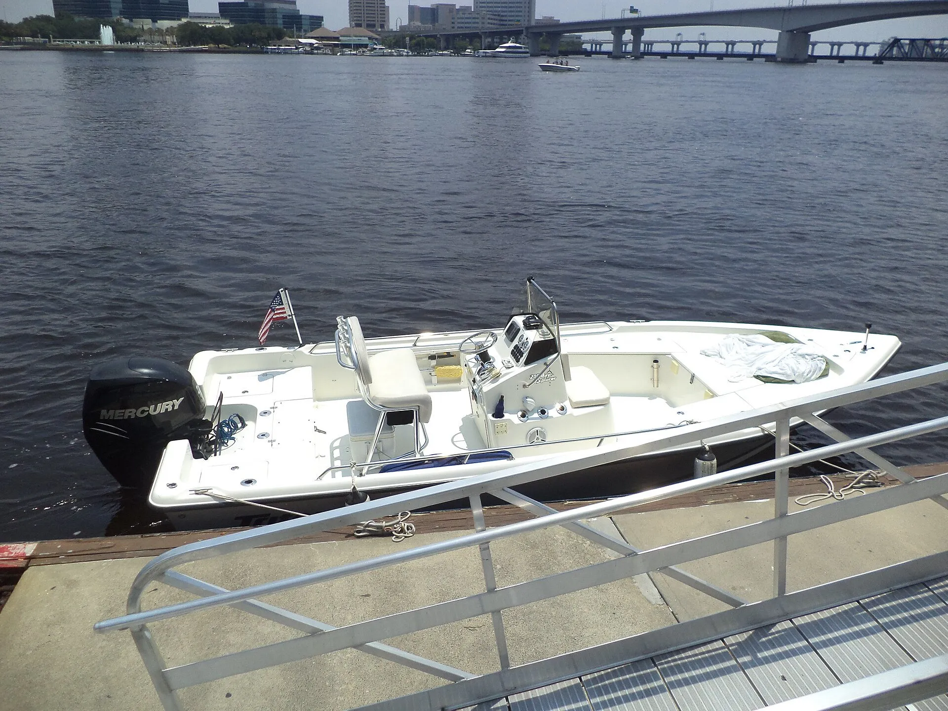
You can leave it in, but the water here grows things quickly, particularly through the warm months. Bottom growth, running gear corrosion and bottom paint consumption all accelerate when a hull stays submerged. Most owners who use their boat regularly find a lift pays for itself over the equipment's life, quite apart from keeping the hull off the bottom at low tide.
Which Jacksonville neighbourhoods do you work in?
Throughout Duval County — Ortega, Mandarin, San Marco, Riverside and Avondale, Arlington, Beauclerc, Julington Creek, Queens Harbour, Fort Caroline and the Intracoastal corridor behind the beaches. If you have water frontage in Jacksonville, we can get to it.
Can you repair a dock damaged by a hurricane?
Yes. After a storm we assess what is salvageable, document the damage and provide a detailed itemised scope you can use with your insurer. What is covered is between you and your policy, but a specific, well-documented scope makes that conversation far simpler.